Jeff and I arose at about 6:00am Pacific Daylight Time in Whitehorse, YT. This is the capital of the Yukon, the largest town in the Yukon and also a college town so there is a lot going on here. It seems that there are students riding bicycles everywhere.
We headed over to the SS Klondike, a stern wheel river boat that is preserved as a museum, for our morning starting picture.
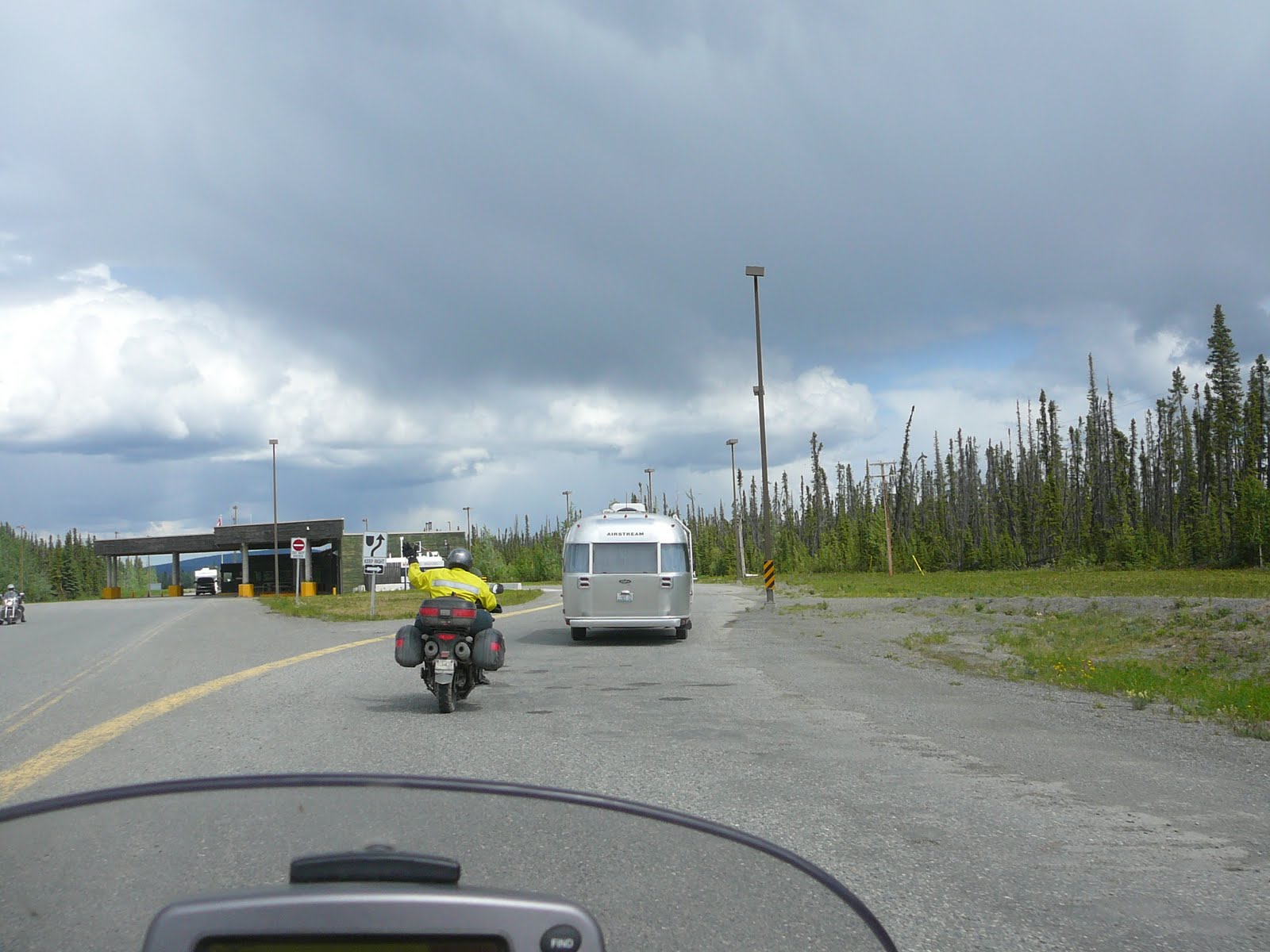
 After the picture taking, we tried to get fuel but it seems that not very many folks open for business before 7:30 or 8:00 am in this part of the world....or maybe it is a Canadian thing as I had the same issue in Yorkton earlier in the ride.
The road climbed out of town quickly as we headed north west to Alaska. The landscape quickly opened up to wide valley floor with mountains on both sides. Also, just as we entered this wide valley, there was some road construction (what a surprise!) so we got another dusting from the gravel but this only lasted a few miles.
 A little further on, there is an Elk Preserve and just as we entered, there were 6 antlerless elk (female?) in the Takhini area north of Whitehorse. No pictures as they scooted away as we passed on the road but I did see them.
 We were soon at Haines Junction and stopped for fuel...we are doing this a lot, for both us and the bikes. While in Haines, we saw a very unique church and of course had to take a picture.
 Haines Junction is a at the base of a mountain range and the road splits going to Haines, AK., or Tok, Ak. We chose the Fairbanks road and once again headed NW. The mountain range behind Haines is part of the Kluane National Park and Preserve and within that part is the highest point in Canada, Mount Logan with a height of 5959 meters or 19,551 feet. Don't ya just love the metric system.
The highway the followed the shoreline of beautiful Lake Kluane. This lake in nestled at the base of a mountain in a low valley.The water is very, very blue-green and seems to be very deep in color. The road crossed several streams of water running into the lake and it was blue-green in color also and I think it is snow melt from the mountains.
 As we passed through one of the little town called Destruction Bay, we saw this "Cop Car" so we slowed down until we realized it was a sheet of plywood painted to look like a cop car.....the joke was on us. Yes, we smiled.
 It is called Destruction Bay because during the building of the Alaska Highway, one of the camps was located there and a sudden storm destroyed the camp, hence the name.
After we left the lake area, we headed further up the highway directly toward a heavy rain. Not looking good for us. The closer we got, the more the rain moved to the west side of the valley and we actually avoided the rain but he road was wet in a couple of places. The weather gods were looking out for us.
 Further on I noticed rocks on the roadside and then realized that people had stopped and using different color stones, spelled out words, names and other stuff. Kinda weird but interesting none the less. Lots of time on their hands I guess.
 Now is where the trip gets to be interesting. It seems that in the part of the Yukon, the roads are not well maintained and the frost heaves play heck with the highway. The road surface can have breaks and lumps in it over 6 inches in depth or height and this makes travel dangerous. The road department does a poor job of keeping up with the damage as many other travelers commented to us about the hazards ahead and problems they have had with their vehicles.
 The road department actually had a portion of the road closed and we had to wait for a escort vehicle to take us up the road. While we were waiting, we talked to the "Sign" lady and I noticed there was a hockey stick leaning on her vehicle and she said when there are no vehicles waiting, she practices her hockey with a tennis ball and hockey stick. This could be an exciting life!
The bumps and dust continued on up the road for a while but but we stopped in Beaver Creek....the real name of the town... for fuel and to get our passports ready for the crossing into Alaska (USA).
We did not have to do anything going out of Canada (30 kms (18 miles)from the "real" border) and just drove right past the customs building.
 In a flash we were at the Canada-USA border. As we were at the border taking the required pictures, me met some folks from Zephyrhills and another group from Pensacola. I guess it was Florida Day at the border!!!
 Also at the border we happened to see a bald eagle land in a pine tree near us and them take off to catch a fish at a nearby lake. Really pretty cool.
 We also noticed that the border was cut through the forest for miles. When you stood at the boundary marker and looked each way, there is a clear path as far as you can see. I was in two countries at the same time. We also crossed into another time zone, the Alaska Time Zone. this puts me 4 hours behind most of you reading this. It is 5 pm here and it is 9 pm there.
 We passed through US Customs without a problem, or at least the let us go and were riding on was can only be described as highway heaven when compared to the Yukon's highway conditions. The road was smooth, clean and wide...and fast. There were areas of repair but it was still great.
 The road to Tok, AK., was uneventful as the terrain did not change much. More green, more marshes, more streams and more mountains.
We stopped in Tok, refueled and made room reservations in Fairbanks since we felt we could make it safely.
After leaving Tok, we crossed the Robertson River and found ice still sitting in the river. See the picture and this is the middle of June!!!
 We stopped in Delta Junction as this is the northern end of the Alaska Highway..all 1390 miles (2237 kms). They say the highway getting shorter due to changes in the route due to upgrades. It still seems to be pretty long.
 We could now see the end of the ride in Fairbanks and headed that way. We quickly were heading into the rains that were surrounding the city and we were fortunate that we got caught just out of town and as we rode to our hotel, it quit raining on us but continued in the area.
Now for the weird coincidence. As Jeff and I were checking into the hotel, I noticed a familiar face. Standing at the counter was Mike Dozier the owner of Tellico Motorcycle Outfitters in Tellico Plains, Tennessee. Here I had ridden over 5000 miles and I run into someone I know. He and some friends had come up to ride the Haul Road to Prudhoe Bay and had just completed the ride. Pretty ironic to see him here.
I asked how the ride went and he said the conditions were very, very difficult. The road was wet, it rained, they ran into freezing frost, it was windy and the road crews were adding more water to the road. They were on BMW dual sport bikes and had a great amount of problems. Flat tires, cold, dropped bikes, no visibility and so on. Does not sound like a pleasant ride. I may have to rethink making this final 400 miles if those are the conditions on the road. Maybe not this year, Yuck. Better to be safe than risking my well being or damage to my bike. Got to think about this for a few days.
Jeff decided to head back to Florida and could not hang around and go to Prudhoe Bay. He heard the report from Mike and decided he did not need to risk his body or bike just as I feel. I received a call from Jeff this afternoon and he had left to go south and ended up coming back to Fairbanks as he had a tire leak and decided to get it replaced to ensure a safe trip home.
Speaking of tires, I feel sure my front will be fine for the trip home but I will most likely put on a new rear tire before I head back home. It should be good for riding around Alaska but not for the high miles home.
We rode 617 miles from Whitehorse, YT., to Fairbanks. Good ride except for the Yukon roads. Total miles to date is 5703 miles
Going to stay with Nathan and Barbra Holloway for a couple of days to do laundry and bike maintenance.
This is all for now. Let you know what I am going to do next when I do.
Mike
No comments:
Post a Comment